Land Acquisition & Clearance Assessment
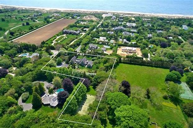
Our drone land acquisition and clearance assessment solutions help surveyors to cut down time and overruns cost. We provide Surveying with a drone to carry out topographic surveys of the same quality as the highly accurate measurements collected by traditional methods, but in a fraction of the time. This substantially reduces the cost of a site survey and the workload of specialists in the field.
Our drones and pilots have been successfully integrated into surveying workflows to perform land surveys, 3D mapping, topographic surveying and more.
Our drones and pilots have been successfully integrated into surveying workflows to perform land surveys, 3D mapping, topographic surveying and more.
Mine Monitoring
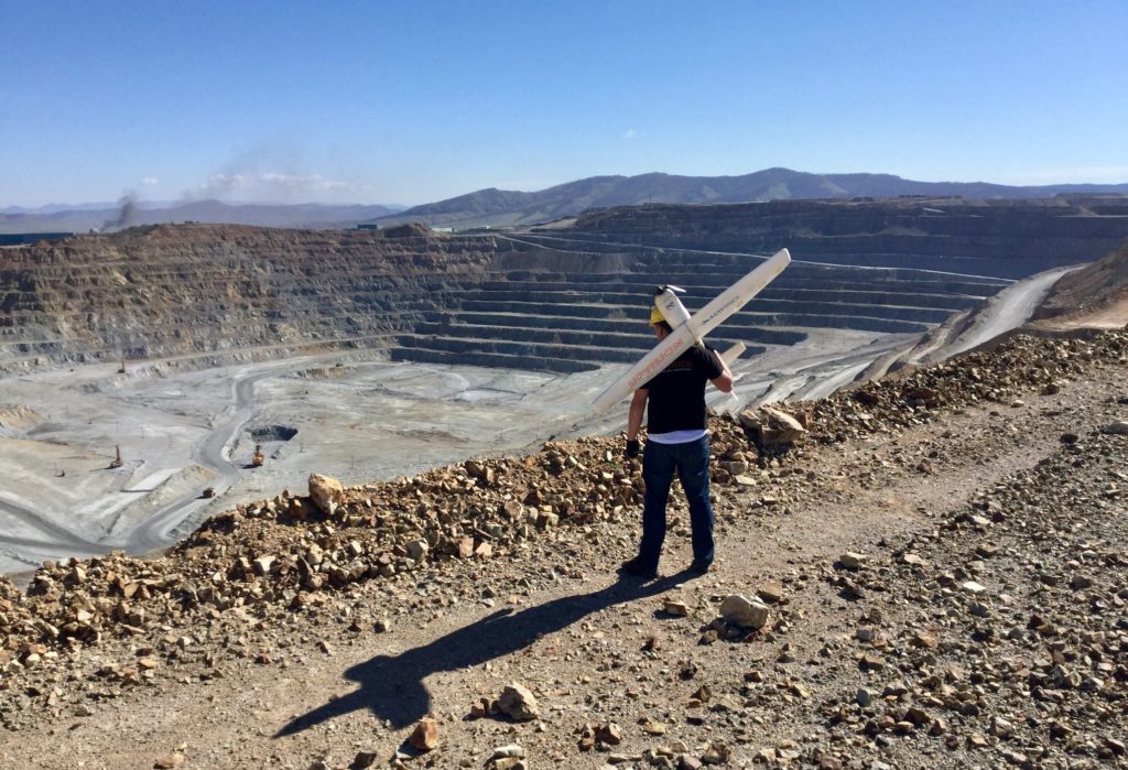
Safety issues during mining and the environmental problems it produces cannot be ignored now. Excessive and unplanned mining are responsible for serious damage to land, water and ecology.
Now the unlimited aerial data that can be collected with drone technology means engineers can record and track more information in less time, allowing them to focus on safety and environmental problem.
Mine is important property of Government and illegal mining practice can be captured through the drone moreover it can measure how much mass was removed or fill.
3D Mapping
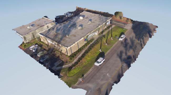
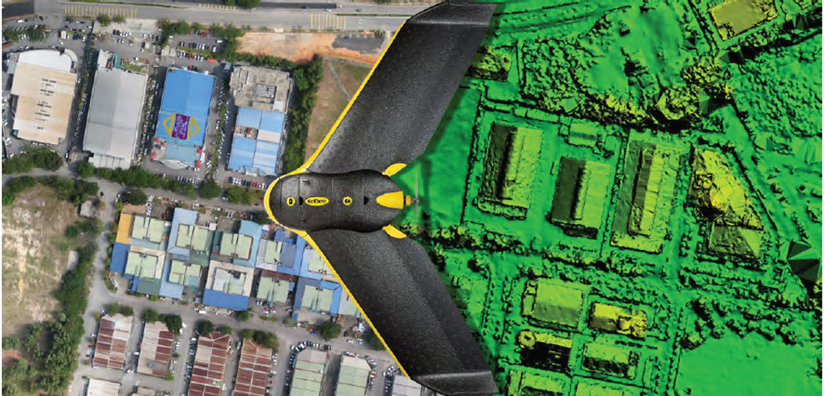
3D models are a great way to visualize the 3 dimensionalities of any object. We provide an advanced 3D model of land. Which can be used to perform calculations, including measuring distance, area and volume.
These tools are ideal for getting measurements of construction sites and calculating areas.
These tools are ideal for getting measurements of construction sites and calculating areas.
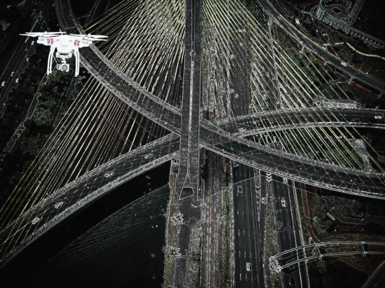
Road and Rail Corridors Mapping
We provide precision road and rail corridors mapping services which help government agencies and civil engineering companies to quickly compile large area linear maps and surveys of rail and road. Such Drone mapping service help railroads to obtain data that can be dangerous, expensive or inefficient to obtain frequently with traditional inspection methods.
Traditional inspection methods require railroad personnel to be physically in the right of way, spending time on the track to find, record and diagnose issues. By using drones to supplement these inspections, the amount of time workers need to be on the track decreases and boosting safety. We work with care to ensure safety as it is our top most priority for any work.
Traditional inspection methods require railroad personnel to be physically in the right of way, spending time on the track to find, record and diagnose issues. By using drones to supplement these inspections, the amount of time workers need to be on the track decreases and boosting safety. We work with care to ensure safety as it is our top most priority for any work.
Urban Development and Smart Cities Planning
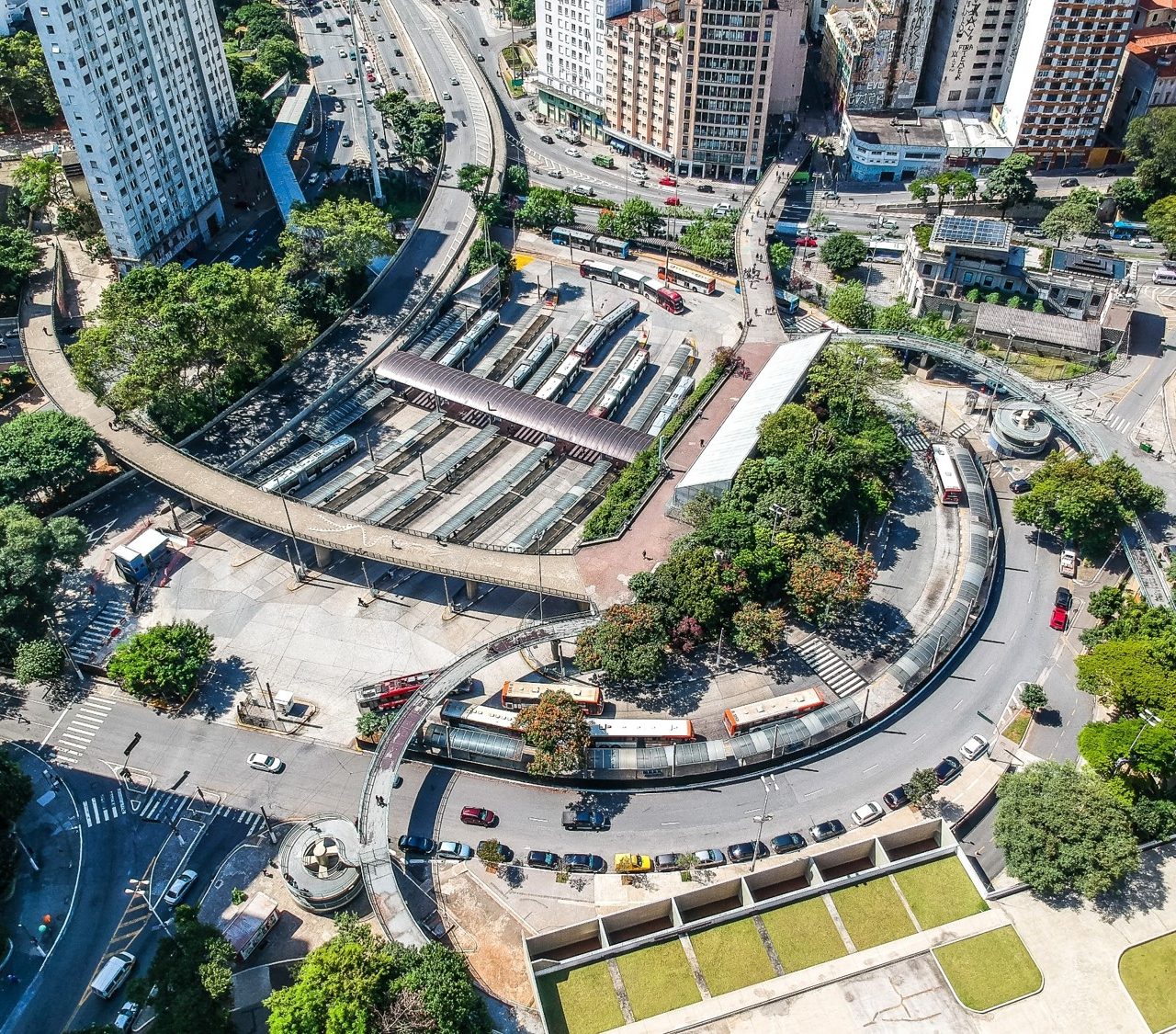
Our Drone service can be used to map commuting routes in cities. It is useful to collect, aggregate, and analyse highly accurate and highly detailed data to develop smart city. This data facilitates to improve operations, Planning and support in many other ways
Solar Inspection
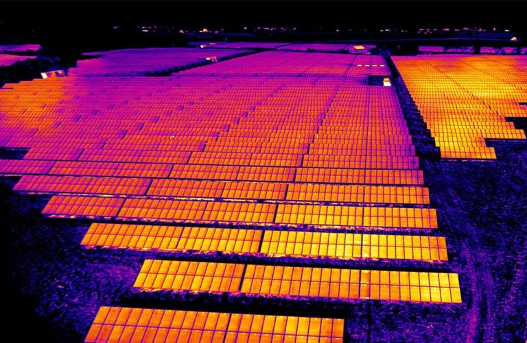
Solar Inspection is one of our key service which help to identify the faulty Solar Panels which required immediate replacement. Our drone based solar panel inspection detect the defected part of photovoltaic cells, cell defects (scratched, cracked or broken cell) upon the surface area of photovoltaic cell.
Our Solar Inspection service enable major advantages like scanning of large areas within short span of time, with the help of high resolution thermal image anomalies can clearly be seen and safety of personnel is improved as there is less need for personnel to ascend on height for inspections.
Our Solar Inspection service enable major advantages like scanning of large areas within short span of time, with the help of high resolution thermal image anomalies can clearly be seen and safety of personnel is improved as there is less need for personnel to ascend on height for inspections.
Building and Construction Monitoring
Our customize service help you to track progress, manage materials and assets, reduce theft, improve owner visibility, increase safety and provide valuable information for improving design changes. It also create a valuable documentation trail in case of problems.
Aerial Photography
Prime UAV provide tailor-made affordable drone aerial photography and videography service to specific industry needs. We provide breath-taking aerial imagery to showcase the best of your property.
It enable you to create professional and broadcast quality drone videos footage to make a stunning and memorable video that delivers your core message. You can get the aerial vantage points on your assets and projects.
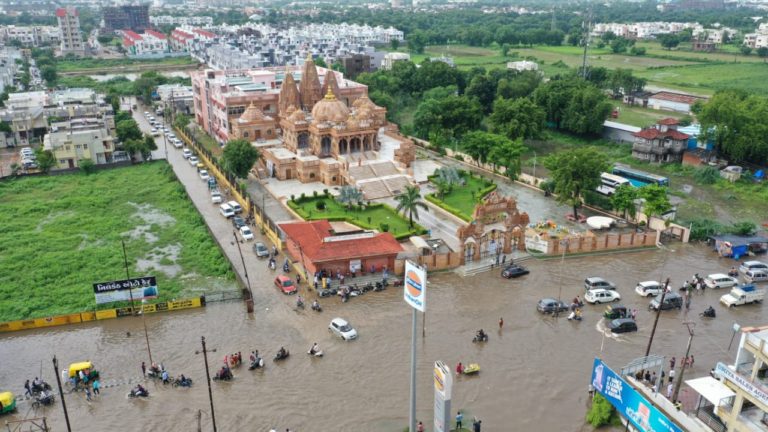
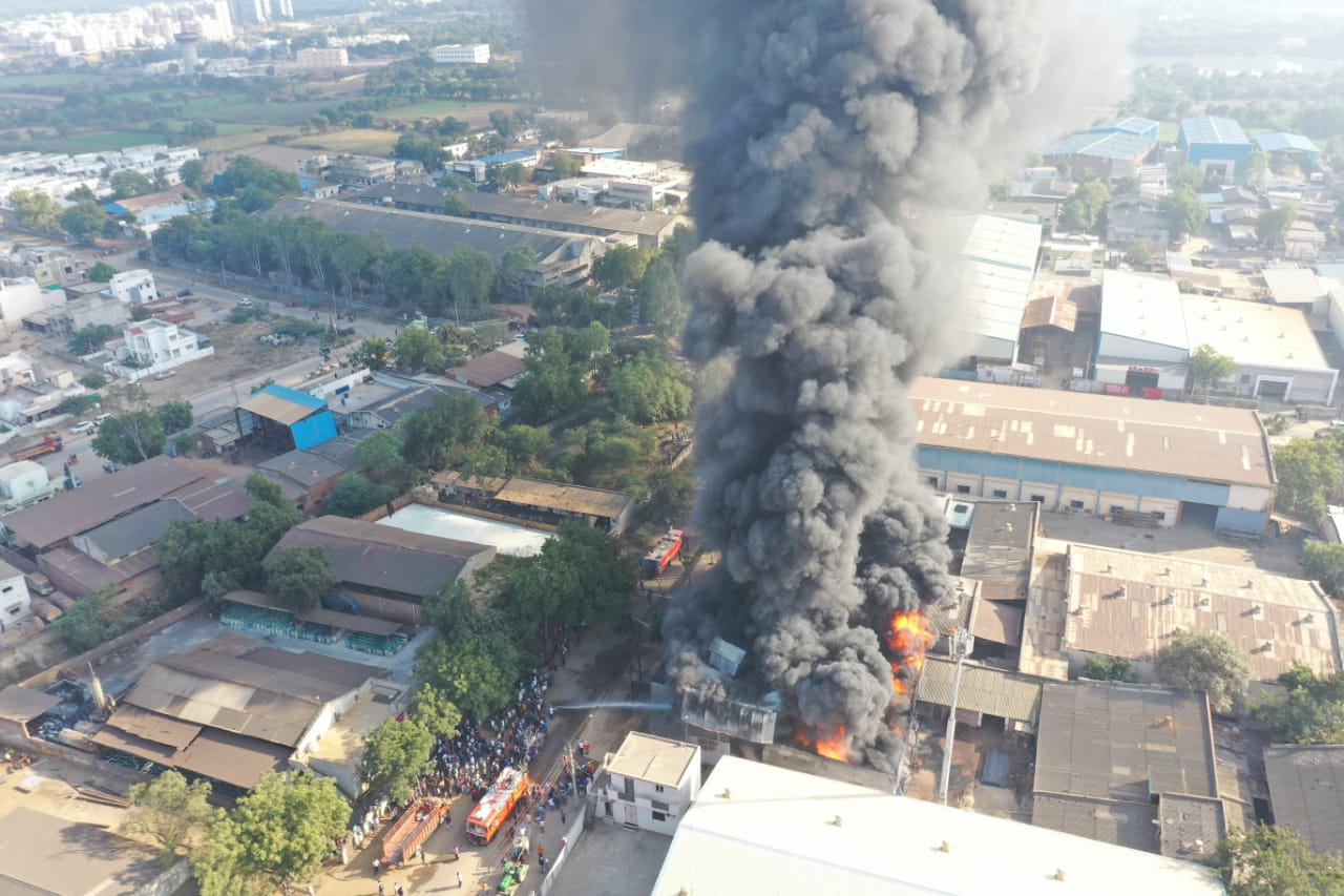
Prime UAV can provide Arial view for multiple Applications like flood, fire, natural calamities etc.
Disaster Assessment
Prime UAV provide customise disaster assessment service like earthquakes, fire, flooding etc. During such calamities we help government and concerned authority to gather real time information, imaging and 3D mapping. Manned aircraft are too expensive to use again it is also depend upon weather, satellite mapping does not meet high-resolution needs and both take too much time during emergency situations while our drone service is available at reasonable cost and our highly technical and dedicated team is able to work in any circumstances.
Public Safety
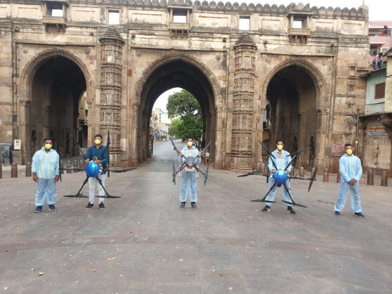
Our customise drone service catering to Public Safety benefiting not only government but also to common man. It enable various helping hand in many emergency circumstances like gathering of info about a fire to find a missing person quickly, Crowd monitoring to enforce lock downs using surveillance drones, Non-invasive temperature checks of people using thermal payload-mounted drones and Use of Drones for spraying sanitisers across large public spaces.


